Pacific Crest Trail

Pacific Crest Trail
Info from Wikipedia
The Pacific Crest Trail (commonly
abbreviated as the PCT, and
officially designated as the Pacific
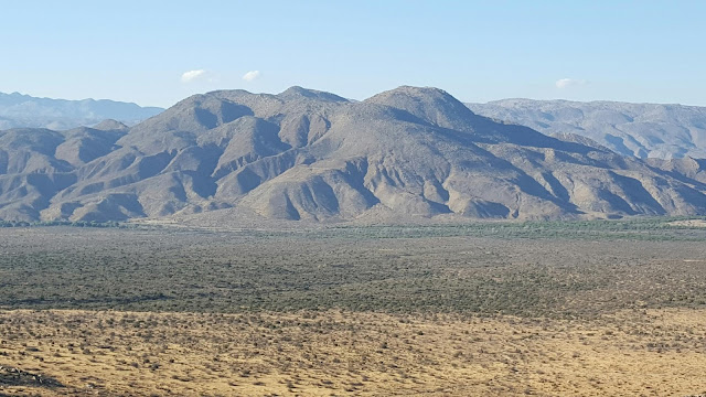
Crest National Scenic Trail) is a long-distance hiking and equestrian trail
closely aligned with the highest portion of the Sierra Nevada and Cascade mountain
ranges, which lie 100 to 150 miles (160 to 240 km) east of the U.S.
Pacific coast. The trail's southern terminus is on the U.S. border with Mexico,
just south of Campo, California, and its northern terminus on
the U.S.–Canada border
on the edge of Manning Park in British
Columbia; its corridor through the U.S. is in the states of California, Oregon,
and Washington.
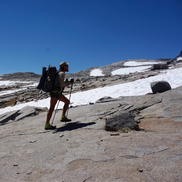
The Pacific Crest Trail is 2,663 mi (4,286 km) long and ranges in elevation from just above sea level at the Oregon–Washington border to 13,153 feet (4,009 m) at Forester Pass in the Sierra Nevada. The route passes through 25 national forests and 7 national parks. Its midpoint is near Chester, California (near Mt. Lassen), where the Sierra and Cascade Mountain ranges meet.
 |
Steve Dunleavy from Lake Tahoe, NV, United States
|
It was
designated a National Scenic Trail in 1968,
although it was not officially completed until 1993. The PCT was conceived
by Clinton Churchill Clarke in 1932. It received official status under the National Trails System Act of 1968.
It is the
westernmost and second longest component of the Triple Crown of Hiking and is part of
the 6,875-mile Great Western Loop. More information about the trail here:
See you on the trail this summer!
Packing It Out

Glad to see others packing it out too. As a past Scout leader, I always encouraged the boys to pack any trash we found on the trails out.
ReplyDelete